
PORTO COVO
37° 51′ 06.12″ N, 8° 47′ 30.84″ W
The earliest record of human settlement in the area of Porto Covo dates to the Carthaginian trading along the coast. By the time of the conquest of Hispania by Rome, the island of Pessegueiro hosted a small fish processing center (from the archaeological excavation of salt tanks linked to this industry).
On the island of Pessegueiro, King Phillip II of Spain hoped to found a maritime port to support his claim to the territory and defend against marauding pirates. At that time an artificial rock barrier was constructed to connect the island of Pessegueiro to the coastline. Two forts were constructed on the island, supporting small garrisons to watch over the coast, but today in ruins.
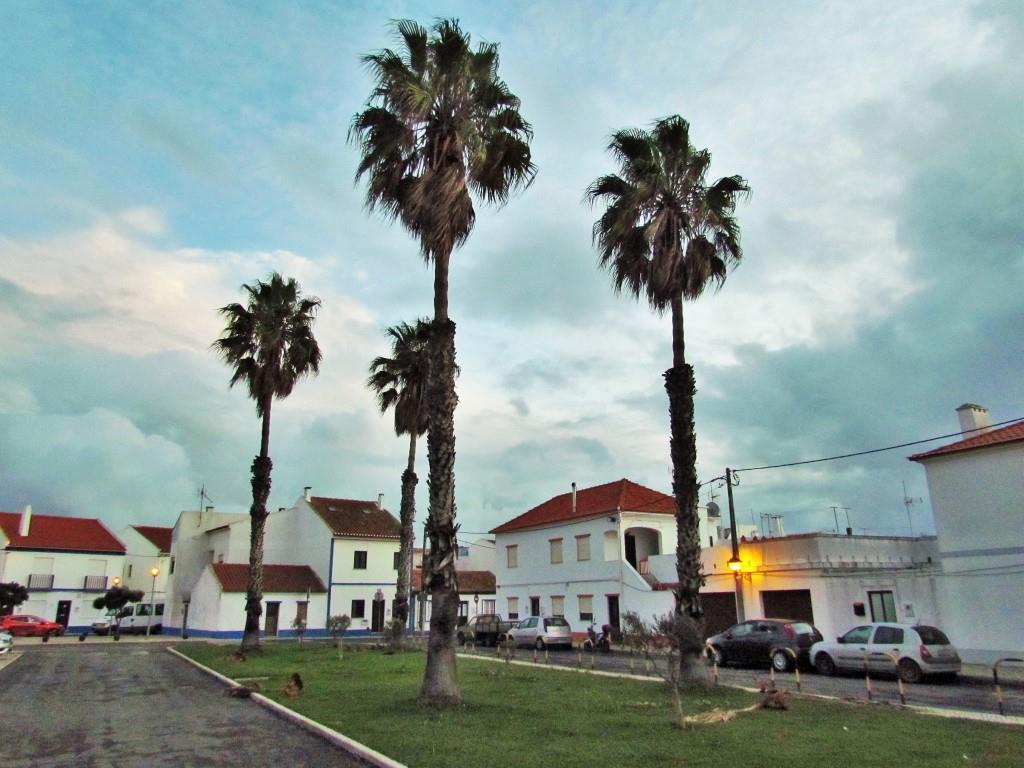
Demographically, by 1940, Porto Covo had little more than 55 residences, comprising 246 inhabitants. After 1980 the numbers had grown significantly: 194 residences, comprising 539 inhabitants. Its growth was, in some part, achieved through the development of the Sines Industrial Complex and container port.
Geography
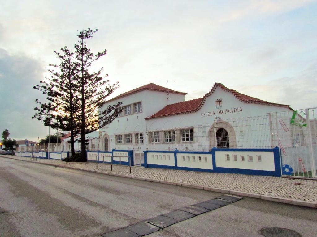
The civil parish of Porto Covo has 48.73 km2 (18.81 sq mi) of area, and today includes 1400 inhabitants ( 2008 ). A coastal parish, it is located about 13 km (8.1 mi) south of the municipal seat Sines but comprises an interior catchment that extends seven kilometers into the interior. While it is fronted to its north by the civil parish of Sines, it is surrounded to the west by the civil parish of Cercal (in the municipality of Santiago do Cacém) and south by the civil parish of Vila Nova de Milfontes (in the municipality of Odemira).
Its northern frontier extends from the beach of Vieirinha into the interior, until reaching the IC4 motorway (each of Brejos do Morgave) and extending south to the village of Sonega. Its eastern border with Cercal meanders along the foothills until southeast of Herdade da Cabeça da Cabra, before the border joins that of the civil parish of Vila de Milfontes meandering west (following the Ribeira da Azenha) reaching the coast 1.5 kilometers south of the island of Pessegueiro. The space includes, apart from the town of Porto Covo, several other localities, including: Barradinha, Brejos do Morgave, Caeiro, Cabeça da Cabra, Camarneira, Casa Nova, Fonte do Muro, Fonte Nova, Foros da Pouca Farinha, Herdade de Cabeça da Cabra, Monte das Pias and Vale Travesso. The area is part of the Southwest Alentejo and Vicentine Coast Natural Park consisting of protected landscapes and habitats for migratory and endemic species.
Economy
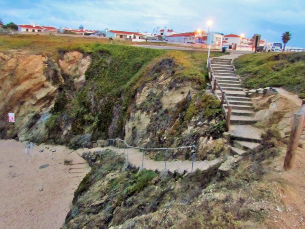
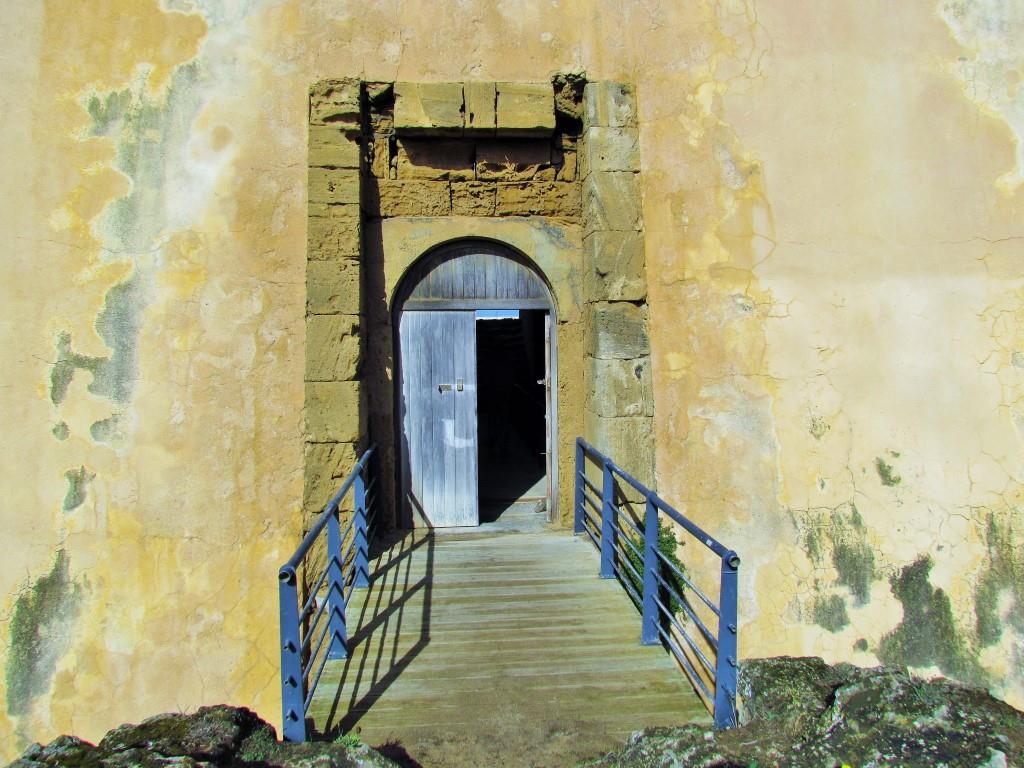
Although characterized as a "small fishing community", its move towards the tourist market has driven its growth since the 1990s. Influenced by its white, fine sand beaches, natural rock-cliff shores, secluded coves, and warm temperatures (water temperatures reaching a minimum of 15 °C), the local economy absorves a constant number of summer visitors and foreign vacationers. During the summer the population increases ten-fold with visitors, who occupy vacation homes, rented apartments, and campgrounds, helped by the classification of many of its beaches as Blue Flag beaches, including the popular Praia do Espingardeiro, Praia Pequena, and Praia dos Buizinhos. In front of the island of Pessegueiro is one of the more popular beaches, attracting windsurfers, boaters, and sport fishermen to the waters off the coast. Alongside the beach of Pessegueiro is the 17th-century fortress, partially destroyed by the 1755 Lisbon earthquake. On the island of Pessegueiro, which inspired the contemporary musician Rui Veloso to pen a composition, is another 17th-century fortress, the ruins of a Roman port and 15th-century chapel. These have also attracted visitors, as boats regularly visit the island for visits, or fishing around its waters.


ILHA DO PESSEGUEIRO
37.82840º N; 8.79017º W
Historically, the island was first occupied by the Carthaginians before the Second Punic War (218-202 BCE).
At the time of the Roman conquest of Hispania, the island hosted a small fish processing center, as determined by archaeological excavations which discovered the remains of salt tanks along the southern coast.
To help defend against privateers, the natural anchorage was extended at the time of the Iberian Union with an artificial rock barrier connecting the island of Pessegueiro to the coastline. In 1590, construction began on the Fort of Pessegueiro Island, which came to occupy a dominant position on the island, with the purpose of providing military support to a fort on the mainland. Work on the project was halted in 1598 in order to construct the Fort of Vila Nova de Milfontes.
Located 300 meters (330 yds) from the coast by a channel, it is situated south of the parish seat of Porto Covo, southwest of a small inlet used by fishing boats.
Part of the Southwest Alentejo and Vicentine Coast Natural Park is a migratory stop and hatchery for many marine bird species, some on the verge of extinction, including seagulls, cormorants, and carrion crows.


💓💓💓💓💓
SEARCH IN ALPHABETICAL ORDER
IN THE DISTRICT OF SETUBAL

💓💓💓💓💓
Return to mainland Portugal &
the Azores and Madeira islands

