
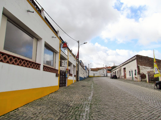
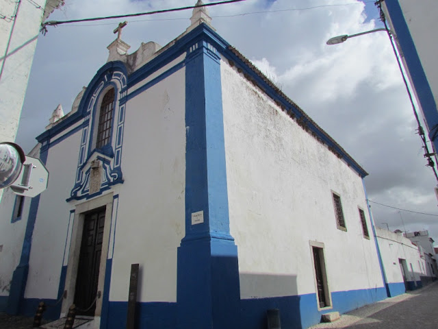
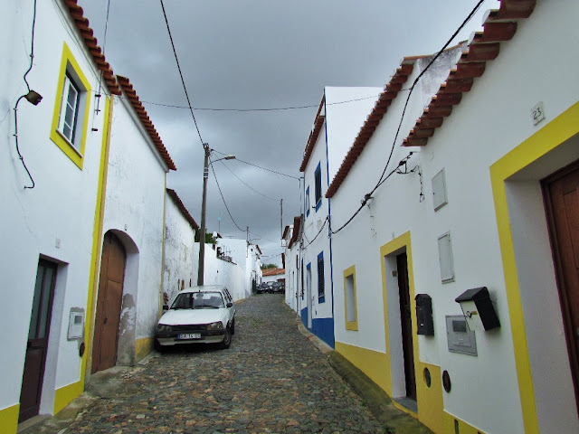
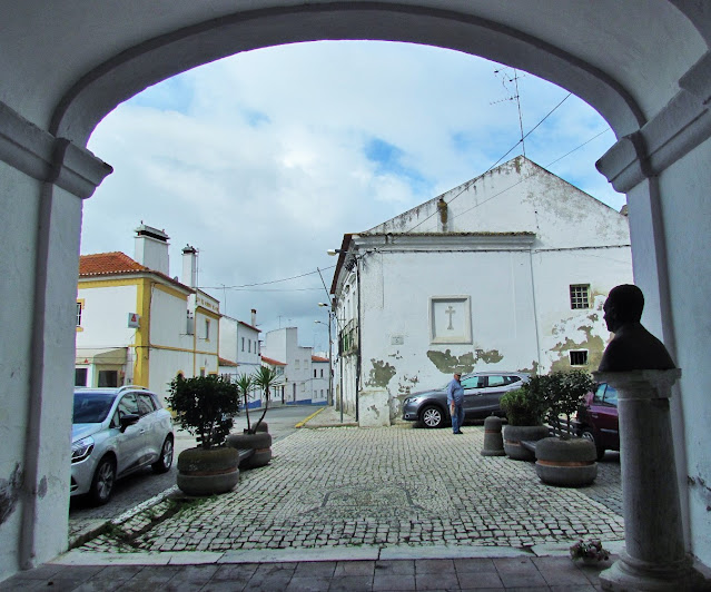
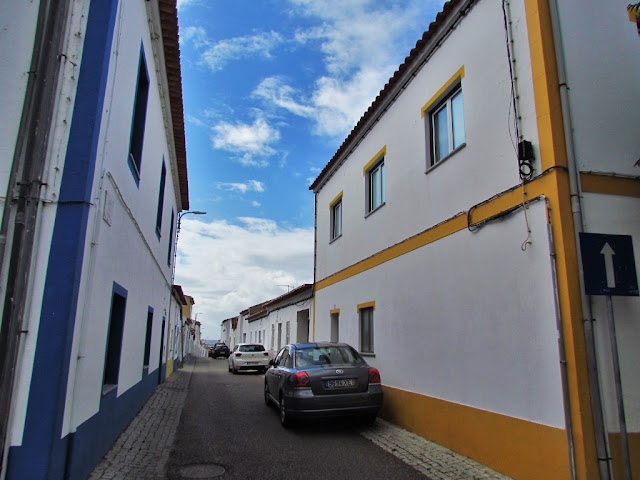
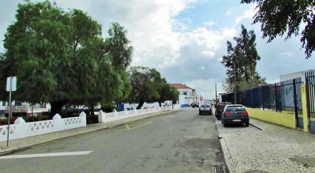
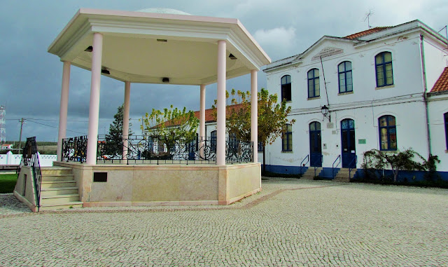
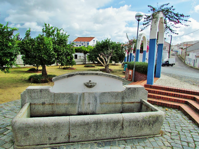
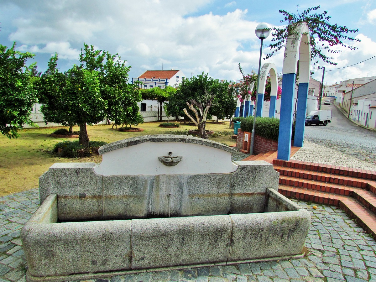
TORRÃO (ALCÁCER DO SAL)
N 38.29678º; W 8.22475º
Another city affected by desertification (the overwhelming majority of the population is made up of elderly people), due to the lack of job offers, the lack of interest and the greed of the usual political parties that, for decades, have only been concerned with their interests.
Torrão is a Portuguese parish in the municipality of Alcácer do Sal, Setúbal district. Practically located in the union of the districts of Setúbal, Évora, and Beja, it is the sixth-largest parish in Portugal, in terms of area.
The parish, with an area of 372.39 km² and 2295 inhabitants (2011), reaches a population density of 6.2 inhabitants / km².
The village of Torrão is crossed by the famous Estrada Nacional N2, the longest road in Portugal, which connects the city of Chaves, in the north of Portugal, to the city of Faro, in the south.
Although it is the largest parish in the area, it has only a few 2000 inhabitants, mostly elderly, poor, and illiterate, who, in their usual conversations, account for the number of deaths in each severe winter.
Successive governments have long since abandoned the interior of the country.
With their experience and wisdom of a long-lived life, Alentejo people do not complain because they know it is not worth it.
The hegemonic political parties in Alentejo, PS (Socialist Party) and PC (Communist Party), are fighting for the places and benefits that the autarchic power confers on them. The inhabitants are outside this calculation and this greed.
In Alcácer do Sal the PS has been divided for years, revealing enormous incompetence in choosing a capable leader, leaving the PC with political hegemony in this municipality.
The inhabitants of Torrão alternate their vote between each other, without any success in improving their quality of life, until they give up on complaints and votes.
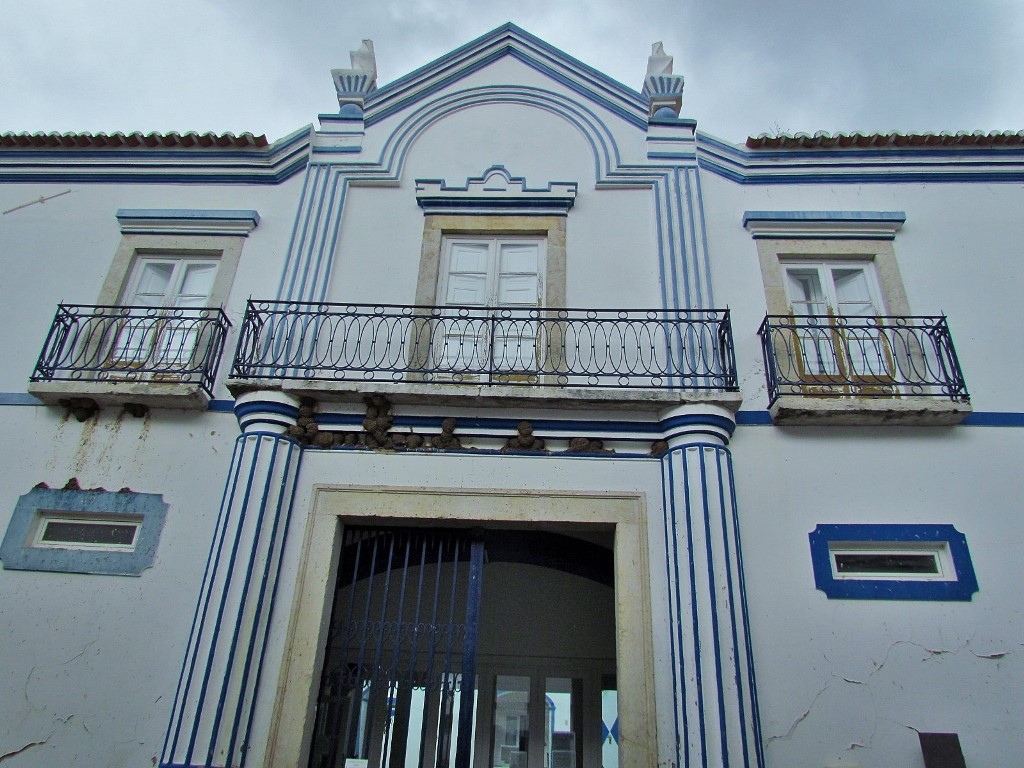
The history and heritage of this Vila do Torrão have been dilapidated over time, according to the ideology of the time.


The parish, with an area of 372.39 km² and 2295 inhabitants (2011), reaches a population density of 6.2 inhabitants / km².
The village of Torrão is crossed by the famous Estrada Nacional N2, the longest road in Portugal, which connects the city of Chaves, in the north of Portugal, to the city of Faro, in the south.
Although it is the largest parish in the area, it has only a few 2000 inhabitants, mostly elderly, poor, and illiterate, who, in their usual conversations, account for the number of deaths in each severe winter.
Successive governments have long since abandoned the interior of the country.
With their experience and wisdom of a long-lived life, Alentejo people do not complain because they know it is not worth it.
The hegemonic political parties in Alentejo, PS (Socialist Party) and PC (Communist Party), are fighting for the places and benefits that the autarchic power confers on them. The inhabitants are outside this calculation and this greed.
In Alcácer do Sal the PS has been divided for years, revealing enormous incompetence in choosing a capable leader, leaving the PC with political hegemony in this municipality.
The inhabitants of Torrão alternate their vote between each other, without any success in improving their quality of life, until they give up on complaints and votes.
The history and heritage of this Vila do Torrão have been dilapidated over time, according to the ideology of the time.


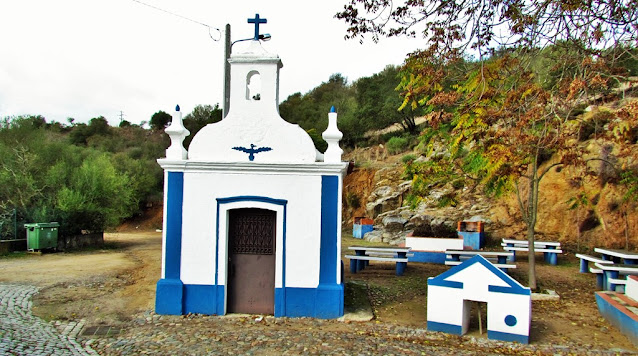
PICNIC AREA
N 38.30092º; W 8.22913º


ROMAN SIDEWALK (CALÇADINHA ROMANA)
Located about 1km north of the town of Torrão, it corresponds to the section of an old Roman road. You are in the presence of a very well maintained section, with a Roman pavement, about 400 meters long. In its construction, stone from the region was used.
It is oriented N / S, being part of the road that connected Pax Iulia (Beja) to Ebora (Évora) - Itinerary XII.
Open road on a level base, over beaten earth covered by a layer of hewn stone with a slope for draining water; it develops in an almost straight path delimited by large pebbles, placed in parallel along the sidewalk; the central part consists of rows of flat stones of different calibers *, with small pebbles, gravel and earth in the middle of the larger stones. The width is formed by the standardized minimum value for the Roman route of 2.40 m.


💓💓💓💓💓
SEARCH IN ALPHABETICAL ORDER
IN THE DISTRICT OF SETUBAL

💓💓💓💓💓
Return to mainland Portugal &
the Azores and Madeira islands

