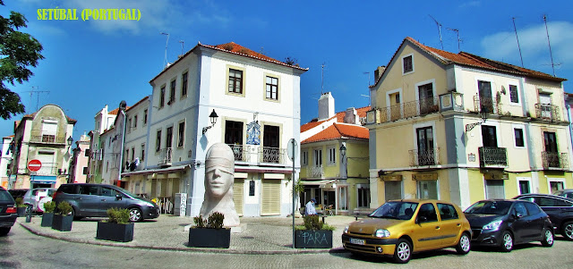
SETÚBAL
38° 31' 27.5" N; 8° 53' 33" W
It is the seat of a municipality with an area of 230.33 km² and 116 330 inhabitants (2017), subdivided into 5 parishes: Azeitão (São Lourenço e São Simão); Gâmbia - Pontes - Alto da Guerra; Sado;
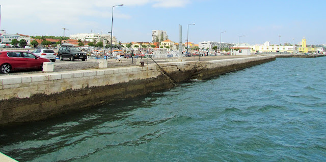
Setúbal (São Julião, Nossa Senhora da Anunciada e Santa Maria da Graça); São Sebastião. The municipality is limited to the west by the municipality of Sesimbra, to the northwest by Barreiro, to the north and east by Palmela and, to the south, the Sado estuary separates it from the municipalities of Alcácer do Sal and Grândola. The Troia peninsula, which belongs to the municipality of Grândola, is located in front of the city, between the Sado estuary and the Atlantic Ocean coast.
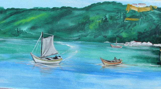
Setúbal was born from the river and the sea. The records of human occupation in the territory of the municipality date back to prehistory. During the Roman occupation, Setúbal experienced enormous development. The Romans installed fish salting factories and ceramic ovens in the village, which they also developed.
The fall of the Roman empire, the barbarian invasions, and the constant piracy of cabotage caused the stagnation, if not the disappearance, of the population between the 6th and 12th centuries. Notably, in this last century, there are no records of the village, 'stuck' between the Christian Palmela and Alcácer do Sal Árabe.
In the 17th century, Setúbal reached its peak of prosperity when salt assumed a leading role as a currency of exchange and retribution for military aid to the support provided by European states to Portugal during and after the Restoration of Independence wars. In response to this increase, after 1640 the new walls of Setúbal were built, which included new areas such as Troino and Palhais.
This prosperity was interrupted by the 1755 earthquake, which was associated with the fury of the sea and fire. The parishes of São Julião and Anunciada were greatly affected.
Only in the 19th century, Setúbal experienced the increase it had lost. In 1860 the railroad arrived, the works of embankment on the river, and the construction of Avenida Luísa Todi also began. It was in this century that the first sardine canning factories in olive oil began to work and, in parallel, the oranges and the muscatel of Setúbal became famous.
Beaches
One of the strong attractions that Setúbal has to offer to those who visit it are its beaches.
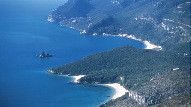
Setúbal has a set of beaches that are quite different from each other, but with a common characteristic: they are all inserted in the Arrábida Natural Park.
The beaches of Setúbal are, starting from the city center: Saude (urban; not yet suitable for bathing); Albarquel (guarded); Comenda;
Rasca; Figueirinha (guarded; blue flag; gold flag; accessible beach);
Galapos (guarded; gold flag); Galapinhos (guarded; gold flag);
Coelhos (guarded); Anicha; Monte Branco; Creiro (guarded; gold flag); Portinho da Arrábida; Pilotos; Alpertuche
BEACHES
The “Portinho da Arrábida” (Creiro), voted one of the 7 Natural Wonders of Portugal, has a cove which serves as a mirror, reflecting the mountain’s greenery overlooking the sand.
An area suitable for scuba diving, here you can marvel at the unique fauna and flora found in the clear waters of this beach.
Voted in 2017 as the best beach in Europe by Europe’s Best Destination, Galapinhos Beach is peaceful and sheltered, with calm seas and clear waters.
The calm sea and the beauty of the surrounding landscape make Figueirinha Beach (awarded with a Blue Flag) one of the region’s most well-known and most popular beaches during the summer.
As well as these beaches, there are also others which attract many visitors, such as Albarquel (the nearest to the city), Galapos or Coelhos.
💓💓💓💓💓
SEARCH IN ALPHABETICAL ORDER
IN THE DISTRICT OF SETUBAL
💓💓💓💓💓
Return to mainland Portugal &
the Azores and Madeira islands


